Exit Forum › Forums › Kimberley Coast Boating Forum. › sale river
Tagged: sale river
- This topic has 2 replies, 3 voices, and was last updated 8 months, 3 weeks ago by
Rory. This post has been viewed 671 times
-
AuthorPosts
-
-
03/08/2023 at 8:41 am #4044
hi guys. planning a trip up into the sale river this September. really finding it hard to find much info at all on this river ie safe anchorages ect. traveling in two 9metre trailer boats. any pointers or even leeds on where to find any info would be much appreciated.
-
04/08/2023 at 9:21 am #4049
-
09/08/2023 at 2:45 pm #4056
Hi Tom you can find some more info here too :
Sale River
15° 59.0’S, 124° 36.0’E
AUS 323, 732
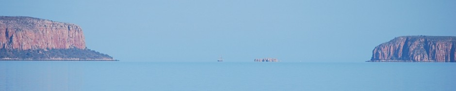
Sale River is in the northeastern corner of Doubtful Bay. Exploration of the Sale River has taken
place but is not for the faint hearted. A visit to the Sale River is rewarding if you have sufficient time
(four to five days) and patience to work the tides to reach the upper anchorage, 12 nm from the
mouth of the river. This anchorage is only accessible to yachts with 2 m draft or less. Access is
across the drying sandbars in the upper part of the river within the period of four days either side of
spring tides.
Leaving from Raft Point or Red Cone Creek at about half tide, proceed to the mouth of the Sale
River where there is a rock bar that dries about 1 m at LWS and almost blocks the mouth from the
southern entrance point. This rock bar causes a line of white water and overfalls running north-
northeast towards George Water on the incoming tide.
⚓ Anchorage can be taken either just inside the mouth of the river over a sandy bottom, or about
3 nm upstream at 15° 59.2’S, 124° 38.4’E about 400 m south of a rocky point on the eastern bank
of the river. Check out the drying sandbars on the following low tide and prepare to head upstream
on the incoming tide the following day. Leave either anchorage about two hours before HW (Lizard
Island) and follow the incoming tide to the upper anchorage in the deep pool opposite the low
mangroves just before the rock bar 16° 01.2’S, 124° 45.2’E.
Due to the blocking effect of the sandbars over the last 5 nm of the river, the tide level at the upper
anchorage will only drop between 5 m and 6 m during the first three or four hours of the ebb. The
water will not return on the next tide for about another five hours, and when it does, it rises the last
5 m in two to three hours. Despite the large tidal range, this anchorage is quite safe as it has a
‘sticky’ mud bottom and is not subject to any more than about 3 kn of current even on the highest
spring tides.
From this upper anchorage it is possible to explore by dinghy further upstream across the rock bar.
There is a sandy beach above the rock bar with a freshwater creek running into the river beside the
beach. A 200 m walk up the creek will bring you to fresh water pools in a cool rainforest setting. Be
sure to return to the dinghy and cross the rock bar before the tide drops too far.
263
Caution: Swimming is not recommended. A crocodile attack occurred in the upper freshwater
section of the Sale River.
Fishing: Fishing can be good around the rock bar on both the incoming and outgoing tides, and
also during the long low tide period
-
-
AuthorPosts
- You must be logged in to reply to this topic.